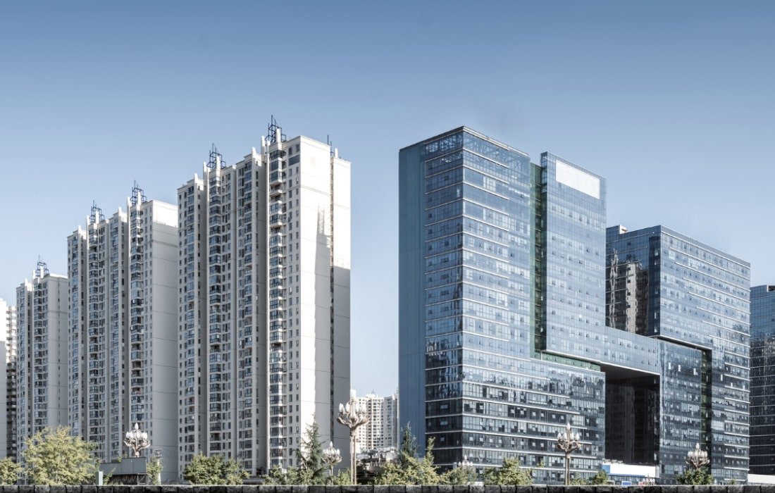
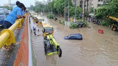
Gurgaon: The city’s built-up area has grown by about 64% in a decade while its water body cover has shrunk by about 77%, increasing its vulnerability to urban flooding and water stress, according to a study by Sankala Foundation, an NGO working on water, energy, climate change, environment and pollution.The findings were presented on Monday at a national seminar on climate-resilient rainwater management at Haryana Institute of Public Administration (HIPA). The study, supported by Embassy of Denmark under India-Denmark Green Strategic Partnership, examined flooding and rainwater management across all 36 municipal wards.The built-up area rose from 102.5 square km (sq km) in 2015 to 168.2 sq km in 2025, while water body cover fell from 4.65% to 1.05% of the landscape. The city receives an average annual rainfall of around 596 mm, about 85% of it during the June-to-Sept monsoon. Much of Gurgaon falls in Central Ground Water Board’s over-exploited category.The research began nearly a year ago and combined around 600 structured interviews across the 36 wards, field observations, GIS-based flood-risk and rainwater-harvesting suitability analysis, drainage and land-use assessment and stakeholder consultations.Of the respondents, 68.4% reported clogged drains, while 31.6% said their drainage systems were functional. While 68.2% said flooding cleared within a day, 27.7% reported waterlogging lasting one to three days and 4.05% said it lasted more than three days.Flood vulnerability is not uniform across the city. Recurring hotspots are concentrated around major transport corridors, mixed-use centres, older settlements and low-lying areas linked to Badshapur drain and Najafgarh basin.“Gurgaon has 159 waterlogging-prone locations,” said Haryana revenue and disaster management minister Vipul Goel, who inaugurated the seminar.He stressed the need for coordinated action on drainage, waterlogging and groundwater recharge, and called for comprehensive planning that accounts for urban development, climate change, drainage and natural water systems. Govt agencies, experts, engineers, communities and businesses should work together, he said, and technical expertise should translate into practical solutions for the city.“For rainwater management, we used hydrological and urban stormwater models to understand how rainfall moves through the city, including infiltration, runoff and groundwater recharge. The SWAT model helps assess the hydrological processes and their long-term impacts, while the SWMM model allows us to simulate rainfall and runoff in urban areas. These models can help identify how much water can be retained, how much runs off and where interventions for better rainwater management can be planned,” A K Gosain, Emeritus professor, IIT Delhi, said.He said similar modelling and simulations had been used for Delhi and submitted to Delhi govt, and suggested that urban parks could be redesigned to retain rainwater and let it percolate into the ground.“The city needs dedicated flood management with year-round monitoring of culverts and existing drainage lines,” said Lalit Kumar, adviser 2, FMDA, Haryana.Both upstream and downstream sections need regular checks to remove obstructions, he said. The city’s major drains come under stress during heavy rain, he added, as climate change has increased runoff while drainage capacity is inadequate.Anirudh Soni, project officer, National Institute of Urban Affairs, said shallow aquifers were important to urban water security because they respond quickly to rainfall and provide local water storage beneath cities. “In Gurgaon, the groundwater recharge potential is not uniform across the city. The eastern and southern sectors have high-potential recharge zones, covering around 40% of the city, where infiltration can take place without a significant waterlogging risk. At the same time, the western parts have areas prone to waterlogging, where the priority should be detention and managed slow release rather than simply sending water away,” he said.Soni said Gurgaon should not adopt one approach across the city. High-potential recharge areas should focus on letting rainfall infiltrate, while waterlogging-prone areas should prioritise detention and controlled release. A connected network linking recharge points, detention areas, parks, schools and other public spaces would be more effective than isolated recharge structures, he said.The study proposes moving away from treating rainwater only as something to be drained out of the city and recommends capturing, storing, reusing and safely recharging rainfall closer to where it falls. It identifies public parks, institutional campuses, community land, selected ponds and suitable transport corridors as potential sites for decentralised management. The recommended measures include rooftop rainwater harvesting, recharge pits and trenches, bioswales and rain gardens, detention ponds, floodable urban parks, permeable surfaces and restoration of ponds and drainage corridors.The researchers also found problems with existing rainwater-harvesting systems, including clogged pits, silt accumulation, damaged inlet chambers, blocked filter media and poor hydraulic connections at some locations. The report said rainwater harvesting needs to shift from mere compliance to ensuring that systems actually function.The study also found scope for community participation, with respondents willing to support rainwater-harvesting initiatives where technical guidance, institutional support and effective maintenance are available.